Category:Locator maps of cities in Shasta County, California
Jump to navigation
Jump to search
| NO WIKIDATA ID FOUND! Search for Locator maps of cities in Shasta County, California on Wikidata | |
| Upload media |
Media in category "Locator maps of cities in Shasta County, California"
The following 30 files are in this category, out of 30 total.
-
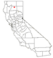
 CAMap-doton-Anderson.png 209 × 230; 4 KB
-
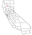
 CAMap-doton-Big Bend.png 209 × 230; 4 KB
-
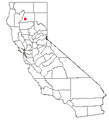
 CAMap-doton-Burney.png 209 × 230; 4 KB
-
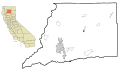
 CAMap-doton-Cottonwood.png 209 × 230; 4 KB
-
 CAMap-doton-Fall River Mills.png 209 × 230; 4 KB
-
 CAMap-doton-French Gulch.png 209 × 230; 4 KB
-
 CAMap-doton-Lakehead-Lakeshore.png 209 × 230; 4 KB
-
 CAMap-doton-McArthur.png 209 × 230; 4 KB
-
 CAMap-doton-Millville.png 209 × 230; 4 KB
-
 CAMap-doton-Montgomery Creek.png 209 × 230; 4 KB
-
 CAMap-doton-Palo Cedro.png 209 × 230; 4 KB
-
 CAMap-doton-Redding.png 209 × 230; 4 KB
-
 CAMap-doton-Round Mountain.png 209 × 230; 4 KB
-
 CAMap-doton-Shasta Lake.png 209 × 230; 4 KB
-
 CAMap-doton-Shingletown.png 209 × 230; 4 KB
-

-

-

-

-

-

-

-

-

-

-

-

-
-

-


