Category:Locator maps of Wilsdruff
Jump to navigation
Jump to search
Media in category "Locator maps of Wilsdruff"
The following 14 files are in this category, out of 14 total.
-
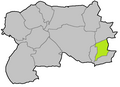
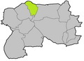 Locator map Birkenhain in Wilsdruff.png 833 × 606; 25 KB
-
 Locator map Blankenstein in Wilsdruff.png 833 × 606; 24 KB
-
 Locator map Braunsdorf in Wilsdruff.png 833 × 606; 25 KB
-
 Locator map Grumbach in Wilsdruff.png 833 × 606; 25 KB
-
 Locator map Helbigsdorf in Wilsdruff.png 833 × 606; 25 KB
-
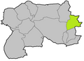
 Locator map Herzogswalde in Wilsdruff.png 833 × 606; 25 KB
-
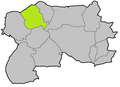
 Locator map Kaufbach in Wilsdruff.png 833 × 606; 25 KB
-
 Locator map Kesselsdorf in Wilsdruff.png 833 × 606; 25 KB
-
 Locator map Kleinopitz in Wilsdruff.png 833 × 606; 25 KB
-
 Locator map Limbach in Wilsdruff.png 833 × 606; 25 KB
-
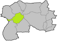
 Locator map Mohorn in Wilsdruff.png 833 × 606; 25 KB
-
 Locator map Oberhermsdorf in Wilsdruff.png 833 × 606; 25 KB
-
 Locator map Wilsdruff in Wilsdruff.png 833 × 606; 25 KB
-
 Municipal subdivisions of Wilsdruff.png 833 × 606; 35 KB


