Category:Locator maps of Verwaltungsgemeinschaft Dingelstädt
Jump to navigation
Jump to search
Media in category "Locator maps of Verwaltungsgemeinschaft Dingelstädt"
The following 6 files are in this category, out of 6 total.
-
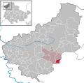 Helmsdorf in EIC.svg 1,149 × 1,140; 632 KB
-
 Kallmerode in EIC.svg 1,149 × 1,140; 632 KB
-
 Kefferhausen in EIC.svg 1,149 × 1,140; 632 KB
-
 Kreuzebra in EIC.svg 1,149 × 1,140; 632 KB
-
 Silberhausen in EIC.svg 1,149 × 1,140; 632 KB
-
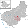
 Verwaltungsgemeinschaft Dingelstädt in EIC.svg 1,149 × 1,140; 632 KB


