Category:Locator maps of Ursynów
Jump to navigation
Jump to search
Media in category "Locator maps of Ursynów"
The following 21 files are in this category, out of 21 total.
-
 Aleja Kasztanowa w Warszawie mapa.jpg 2,240 × 1,725; 280 KB
-
 Metro-A5-Ursynow.svg 1,589 × 1,881; 180 KB
-
 PL warsaw dąbrówka location.svg 744 × 760; 18 KB
-
 PL warsaw grabów location.svg 744 × 760; 18 KB
-
 PL warsaw jeziorki południowe location.svg 744 × 760; 18 KB
-
 PL warsaw jeziorki północne location.svg 744 × 760; 18 KB
-
 PL warsaw kabaty location.svg 744 × 760; 18 KB
-
 PL warsaw las kabacki location.svg 744 × 760; 18 KB
-
 PL warsaw natolin location.svg 744 × 760; 18 KB
-
 PL Warsaw Osiedle Kabaty.png 2,000 × 2,043; 292 KB
-
 PL warsaw pyry location.svg 744 × 760; 18 KB
-
 PL warsaw skarpa powsińska location.svg 744 × 760; 18 KB
-
 PL warsaw stary imielin location.svg 744 × 760; 18 KB
-
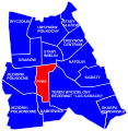
 PL warsaw stary służew location.svg 744 × 760; 18 KB
-
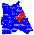
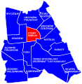
 PL warsaw ursynów centrum location.svg 744 × 760; 18 KB
-
 PL Warsaw ursynów location.svg 655 × 760; 27 KB
-
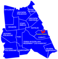
 PL Warsaw URSYNÓW MSI podział.svg 744 × 760; 18 KB
-
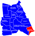
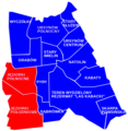
 PL warsaw ursynów północny location.svg 744 × 760; 18 KB
-
 PL warsaw wyczółki location.svg 744 × 760; 18 KB
-
 Warsaw jeziorki location MSI.png 587 × 600; 74 KB
-
 Warszawa Ursynów.png 381 × 448; 5 KB


