Category:Location maps of cities in Hungary
Jump to navigation
Jump to search
Media in category "Location maps of cities in Hungary"
The following 18 files are in this category, out of 18 total.
-
 BajaTérképe.png 484 × 677; 73 KB
-
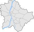 Budapest districts map.svg 600 × 566; 31 KB
-
 Békéscsaba map.svg 661 × 429; 10 KB
-
 Debrecen map.svg 1,631 × 1,409; 10 KB
-
 Esztergom map (simple).PNG 882 × 752; 23 KB
-
 Gyöngyös location map.svg 744 × 1,052; 28 KB
-
 Győr map.svg 813 × 763; 14 KB
-
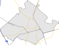
 Map of Balmazújváros.svg 2,000 × 2,000; 67 KB
-
 Map of Kaposvár.svg 1,403 × 1,052; 14 KB
-
 Map of Kecskemét.svg 3,309 × 2,533; 23 KB
-
 Map of Nyíregyháza.svg 2,128 × 1,725; 15 KB
-
 Map of Pécs.svg 1,604 × 1,431; 20 KB
-
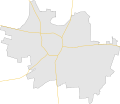
 Map of Szolnok.svg 1,004 × 1,142; 14 KB
-
 Map of Szombathely.svg 1,221 × 1,041; 11 KB
-
 Map of Székesfehérvár.svg 1,416 × 1,362; 15 KB
-
 Map of Veszprém.svg 1,159 × 1,107; 10 KB
-
 Miskolc map.svg 1,164 × 799; 24 KB
-
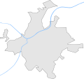
 Szeged map.svg 901 × 813; 19 KB


.PNG)


