Category:Language-neutral maps of the United States
Jump to navigation
Jump to search
Countries of the Americas: Canada · United States of America
Media in category "Language-neutral maps of the United States"
The following 19 files are in this category, out of 19 total.
-
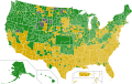
 Automatic voter registration in the United States.svg 959 × 593; 83 KB
-
 Democratic Party presidential primaries results by county, 2016.svg 989 × 627; 1.3 MB
-
 Democratic presidential primary delegate map, 1972.svg 959 × 593; 44 KB
-
 Democratic presidential primary map, 1972.svg 959 × 593; 43 KB
-
 Flag map of the United States (1819).png 1,257 × 841; 54 KB
-
 Flag map of the United States 50 stars.png 2,958 × 2,383; 374 KB
-

-
 Flag map of the USA ~ Rivers and Lakes.png 2,413 × 1,484; 1.01 MB
-
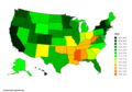 Life expectancy map of USA 2019.png 5,000 × 3,500; 1.01 MB
-
 Life expectancy map of USA 2020.png 5,000 × 3,500; 1.04 MB
-
 Northeastern Highlands Ecoregion Map.jpg 3,400 × 4,400; 1.33 MB
-
 Republican Party presidential primaries results by county, 2016.svg 1,306 × 828; 1.44 MB
-
 State minimum wages v2.jpg 590 × 368; 50 KB
-
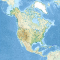 United States in North America (relief) (+territories) (-mini map).svg 1,181 × 1,185; 4.76 MB
-
 United States Senators by Gender.svg 400 × 247; 458 KB
-
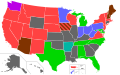
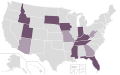 US states with bans on gender-affirming care for people under 18.svg 959 × 593; 67 KB
-
 USA counties with territories.svg 1,306 × 828; 1.48 MB
-
 Usa edcp (+HI +AK) relief location map.svg 1,181 × 731; 7 MB
-
 Usa edcp relief location map.png 1,181 × 731; 1.56 MB


.png)

.svg)


_(%2Bterritories)_(-mini_map).svg)


_relief_location_map.svg)
