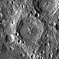
Category:LAC-67
Jump to navigation
Jump to search
Contains media showing lunar surface features from LAC quadrangle #67.
- Latitude range: 00° N to 16° N
- Longitude range: 150° E to 170° E
Media in category "LAC-67"
The following 15 files are in this category, out of 15 total.
-
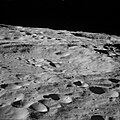
AS10-31-4653 Papaleksi crater.jpg 4,148 × 4,149; 7.04 MB
-
AS16-118-18929.jpg 450 × 450; 44 KB
-
Dufay LAC-67.jpg 294 × 311; 71 KB
-
Henderson lunar crater LROC.jpg 375 × 375; 46 KB
-
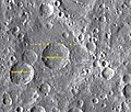
Henderson sattelite craters map.jpg 1,150 × 949; 69 KB
-
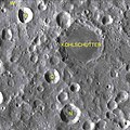
Kohlschutter sattelite craters map.jpg 800 × 803; 156 KB
-
Mandel'shtam sattelite craters map.jpg 1,736 × 1,476; 276 KB
-
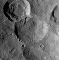
Mandel´shtam LROC.jpg 425 × 425; 76 KB
-
Mills sattelite craters map.jpg 958 × 926; 64 KB
-
Normal kohlschutter LROC.jpg 400 × 394; 24 KB
-
Normal vangent.jpg 394 × 400; 24 KB
-
Papaleksi crater AS16-M-0456.jpg 1,450 × 1,100; 534 KB
-
Papaleksi sattelite craters map.jpg 799 × 698; 44 KB
-
Papaleski LROC.jpg 419 × 419; 41 KB
-
Vangent-letter.jpg 815 × 598; 133 KB
