Category:Kirchstraße 42 (Bad Honnef)
Jump to navigation
Jump to search
| Object location | | View all coordinates using: OpenStreetMap |
|---|
Media in category "Kirchstraße 42 (Bad Honnef)"
The following 2 files are in this category, out of 2 total.
-
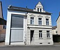 Bad Honnef Kirchstraße 42.jpg 3,674 × 3,063; 2.63 MB
-
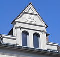 Bad Honnef Kirchstraße 42 Dachgaube.jpg 2,825 × 2,684; 1.82 MB

