Category:Institut municipal d'Angers
Jump to navigation
Jump to search
| Object location | | View all coordinates using: OpenStreetMap |
|---|
Media in category "Institut municipal d'Angers"
The following 3 files are in this category, out of 3 total.
-
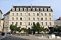 Institut municipal Angers 1.jpg 5,184 × 3,456; 7.08 MB
-
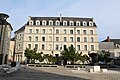 Institut municipal Angers 2.jpg 5,184 × 3,456; 6.71 MB
-
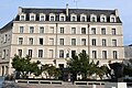 Institut municipal Angers 3.jpg 5,184 × 3,456; 7.06 MB


