Category:Indiana gubernatorial election maps
Jump to navigation
Jump to search
States of the United States: Alabama · Alaska · Arizona · Arkansas · California · Colorado · Connecticut · Delaware · Florida · Georgia · Hawaii · Idaho · Illinois · Indiana · Iowa · Kansas · Kentucky · Louisiana · Maine · Maryland · Massachusetts · Michigan · Minnesota · Mississippi · Missouri · Montana · Nebraska · Nevada · New Hampshire · New Jersey · New Mexico · New York · North Carolina · North Dakota · Ohio · Oklahoma · Oregon · Pennsylvania · Rhode Island · South Carolina · South Dakota · Tennessee · Texas · Utah · Vermont · Virginia · Washington · West Virginia · Wisconsin · Wyoming
Guam
Guam
Subcategories
This category has only the following subcategory.
Media in category "Indiana gubernatorial election maps"
The following 11 files are in this category, out of 11 total.
-
 2000 Indiana gubernatorial Republican primary results map by county.svg 744 × 744; 208 KB
-
 2004 Indiana gubernatorial Republican primary results map by county.svg 744 × 744; 208 KB
-
 2008 Indiana gubernatorial Democratic primary results map by county.svg 744 × 744; 208 KB
-
 2012 Indiana gubernatorial election by Congressional District.svg 810 × 810; 544 KB
-
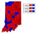
 2012 Indiana gubernatorial election by state senate district.svg 800 × 1,218; 1.58 MB
-
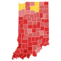
 2020 Indiana Results.png 247 × 389; 39 KB
-

-
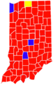
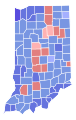
 In gov 2012.png 370 × 350; 12 KB
-
 IN Governor 2016.svg 810 × 810; 14.45 MB
-
 IN Governor 2020.svg 810 × 810; 14.58 MB
-
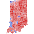
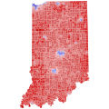
 Indiana Governor Election Results by county, 2000.svg 266 × 420; 25 KB


