Category:Images from the Australian Government Department of Environment and Energy
Jump to navigation
Jump to search
English: Images from the Australian Government Department of the Environment and Energy
Media in category "Images from the Australian Government Department of Environment and Energy"
The following 3 files are in this category, out of 3 total.
-
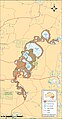 Map of the Willandra Lakes Region, showing the World Heritage Area boundaries, 2008.jpg 1,283 × 2,459; 471 KB
-
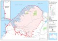 The West Kimberley, National Heritage List boundaries, 1 September 2011.pdf 2,479 × 1,752; 1.1 MB
-
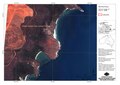 Wurrwurrwuy map, showing Australian National Heritage List boundaries, 9 August 2013.pdf 1,752 × 1,239; 5.79 MB
