Category:Hydrographic maps of Nant (Aveyron)
Jump to navigation
Jump to search
Media in category "Hydrographic maps of Nant (Aveyron)"
The following 2 files are in this category, out of 2 total.
-
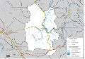
 12168-Nant-Hydro.png 3,519 × 2,480; 2.25 MB
-
 12168-Nant-Zone inondable.svg 1,070 × 744; 3.46 MB

