Category:Hazard and risk maps of Meung-sur-Loire
Jump to navigation
Jump to search
Media in category "Hazard and risk maps of Meung-sur-Loire"
The following 2 files are in this category, out of 2 total.
-
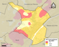 45203-Meung-sur-Loire-argile.png 3,057 × 2,480; 3.23 MB
-
 45203-Meung-sur-Loire-Zone inondable.jpg 3,507 × 2,480; 752 KB

