Category:Hazard and risk maps of Langon-sur-Cher
Jump to navigation
Jump to search
Media in category "Hazard and risk maps of Langon-sur-Cher"
This category contains only the following file.
-
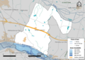 41110-Langon-sur-Cher-Zone inondable.png 3,507 × 2,480; 1.65 MB
