Category:Hazard and risk maps of Argelès-Gazost
Jump to navigation
Jump to search
Media in category "Hazard and risk maps of Argelès-Gazost"
The following 2 files are in this category, out of 2 total.
-
 65-Hautes-Pyrénées-Sismicité.png 3,507 × 2,480; 3.06 MB
-
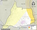 65025-Argelès-Gazost-argile.jpg 3,057 × 2,480; 586 KB

