Category:Grenzstein (Grobau-Münchenreuth)
Jump to navigation
Jump to search
| Object location | | View all coordinates using: OpenStreetMap |
|---|
| NO WIKIDATA ID FOUND! Search for Grenzstein (Grobau-Münchenreuth) on Wikidata | |
| Upload media |
Media in category "Grenzstein (Grobau-Münchenreuth)"
The following 5 files are in this category, out of 5 total.
-
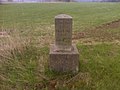 Grenzstein Grobau–Münchenreuth (1).jpg 2,048 × 1,536; 663 KB
-
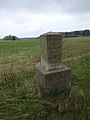
 Grenzstein Grobau–Münchenreuth (2).jpg 4,608 × 3,456; 6.53 MB
-
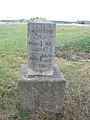
 Grenzstein Grobau–Münchenreuth (3).jpg 3,456 × 4,608; 6.29 MB
-
 Grenzstein Grobau–Münchenreuth (4) Grenzblick.jpg 4,608 × 3,456; 6.51 MB
-
 Sächsisch–Bayerischer Grenzstein Grobau–Münchenreuth (1).jpg 3,000 × 4,000; 3.87 MB
.jpg)
.jpg)
.jpg)
_Grenzblick.jpg)
.jpg)