Category:German-language SVG maps showing history of Europe
Jump to navigation
Jump to search
Media in category "German-language SVG maps showing history of Europe"
The following 19 files are in this category, out of 19 total.
-
 1798bataafscherepubliek de.svg 605 × 754; 141 KB
-
 1937 linguistic map of Central Europe-EN.svg 1,224 × 772; 1.63 MB
-
 Anwerbeabkommen der Bundesrepublik Deutschland 1955 bis 1968.svg 450 × 456; 521 KB
-
 BalticStatesBorders de.svg 758 × 586; 157 KB
-
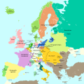
 Europa 1701.svg 1,357 × 1,357; 688 KB
-
 Europa 1721.svg 1,357 × 1,357; 680 KB
-
 Europa 1789.svg 1,357 × 1,357; 674 KB
-
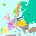 Europa 1812.svg 1,357 × 1,357; 511 KB
-
 Europa 1815-es.svg 1,340 × 1,363; 1 MB
-
 Europa 1815.svg 1,340 × 1,363; 554 KB
-
 Europa 1867.svg 1,340 × 1,363; 519 KB
-
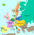
 Europa 1914.svg 1,363 × 1,363; 353 KB
-
 Europa 1929-es.svg 1,363 × 1,363; 490 KB
-
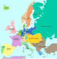
 Europa 1929.svg 1,363 × 1,363; 352 KB
-
 Krone Kastilien 1492.svg 738 × 542; 728 KB
-
 Länder der Weimarer Republik.svg 976 × 818; 877 KB
-
 Map France 1477-de.svg 900 × 970; 2.74 MB
-
 Map Kingdom of Holland 1807-de.svg 677 × 611; 159 KB
-
 Treaty of Fontainebleau 1807 de.svg 380 × 690; 275 KB


