Category:Gartenstraße 49 (Frankfurt am Main)
Jump to navigation
Jump to search
| Object location | | View all coordinates using: OpenStreetMap |
|---|
Media in category "Gartenstraße 49 (Frankfurt am Main)"
The following 2 files are in this category, out of 2 total.
-
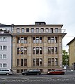 Frankfurt, Gartenstraße 49 (1).jpg 4,565 × 5,055; 11.36 MB
-
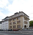 Frankfurt, Gartenstraße 49.jpg 4,301 × 4,636; 8.55 MB
.jpg)
