Category:Fründenhütte
Jump to navigation
Jump to search
| Object location | | View all coordinates using: OpenStreetMap |
|---|
mountain hut  | |||||
| Upload media | |||||
| Instance of | |||||
|---|---|---|---|---|---|
| Location | Bern, Switzerland | ||||
| Owned by | |||||
| Inception |
| ||||
| Mountain range | |||||
| Elevation above sea level |
| ||||
| official website | |||||
 | |||||
Media in category "Fründenhütte"
The following 9 files are in this category, out of 9 total.
-
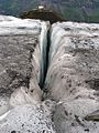 Fruendengletscher2004.jpg 800 × 1,066; 323 KB
-
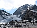
 Fruendenhuette2004.jpg 1,200 × 605; 173 KB
-
 Fründenhorn.png 743 × 442; 507 KB
-
 Fründenhütte 1942 Dia 350-073.jpg 5,396 × 3,507; 1.89 MB
-
 Fründenhütte gegen Doldenhorn.jpg 860 × 645; 208 KB
-
 Fründenhütte Richtung Kandersteg.jpg 900 × 675; 238 KB
-
 Fründenhütte vom See.jpg 900 × 675; 151 KB
-
 Oesch.jpg 320 × 240; 28 KB
-
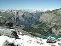
 Oeschinensee from Fruendehuette.jpg 900 × 675; 238 KB


