Category:Ettal
Jump to navigation
Jump to search
German municipality in the district of Garmisch-Partenkirchen, in Bavaria | |||||
| Upload media | |||||
| Instance of |
| ||||
|---|---|---|---|---|---|
| Part of |
| ||||
| Location | Garmisch-Partenkirchen, Upper Bavaria, Bavaria, Germany | ||||
| Head of government |
| ||||
| Population |
| ||||
| Area |
| ||||
| Elevation above sea level |
| ||||
| Different from | |||||
| official website | |||||
 | |||||
Subcategories
This category has the following 12 subcategories, out of 12 total.
Media in category "Ettal"
The following 12 files are in this category, out of 12 total.
-
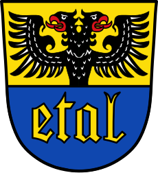
Wappen Ettal.svg 701 × 766; 90 KB
-
Wappen von Ettal.png 150 × 160; 9 KB
-
Alter Schuppen.jpg 4,608 × 3,456; 4.32 MB
-
Bay uraufnahme blatt 863.jpg 1,394 × 1,394; 497 KB
-
Blick auf Kloster Ettal.jpg 4,032 × 3,024; 5.03 MB
-
Die Papst-Bier, Ettal D.jpg 1,944 × 2,592; 1.35 MB
-
Ettal 07.jpg 6,048 × 4,024; 2.26 MB
-
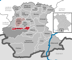
Ettal in GAP.svg 649 × 540; 1.31 MB
-
Gezicht op Ettal The village of Ettal (titel op object), RP-F-2001-7-756-3 (cropped).jpg 3,600 × 2,880; 1.13 MB
-
Gezicht op Ettal The village of Ettal (titel op object), RP-F-2001-7-756-3.jpg 4,800 × 7,680; 4.24 MB
-
GrablichterAutomatFriedhofEttal.jpg 1,159 × 1,531; 1.02 MB


