Category:Electoral districts of Prince Edward Island
Jump to navigation
Jump to search
Provinces and territories of Canada: Alberta · British Columbia · Manitoba · New Brunswick · Nova Scotia · Ontario · Prince Edward Island · Quebec · Saskatchewan ·
This category shows maps and other materials relating to electoral districts in Prince Edward Island.
Media in category "Electoral districts of Prince Edward Island"
The following 53 files are in this category, out of 53 total.
-

-
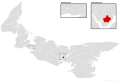
 Alberton-Bloomfield electoral district map.svg 1,554 × 1,057; 668 KB
-
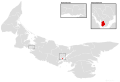
 Belfast-Murray River electoral district map.svg 1,554 × 1,057; 668 KB
-
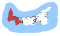
 Belfast-Murray River.png 610 × 416; 10 KB
-
 Borden-Kinkora electoral district map.svg 1,554 × 1,057; 668 KB
-
 Brackley-Hunter River electoral district map.svg 1,554 × 1,057; 668 KB
-
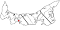
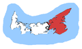 Cardigan. riding.png 352 × 212; 5 KB
-
 Charlottetown, riding.png 352 × 212; 5 KB
-
 Charlottetown-Belvedere electoral district map.svg 1,554 × 1,057; 668 KB
-
 Charlottetown-Brighton electoral district map.svg 1,554 × 1,057; 668 KB
-
 Charlottetown-Hillsborough Park electoral district map.svg 1,554 × 1,057; 668 KB
-
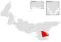
 Charlottetown-Sherwood.png 610 × 416; 10 KB
-
 Charlottetown-Victoria Park electoral district map.svg 1,554 × 1,057; 668 KB
-
 Charlottetown-West Royalty electoral district map.svg 1,554 × 1,057; 668 KB
-
 Charlottetown-Winsloe electoral district map.svg 1,554 × 1,057; 668 KB
-
 Cornwall-Meadowbank electoral district map.svg 1,554 × 1,057; 668 KB
-
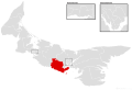
 Egmont, riding.png 352 × 212; 5 KB
-
 Evangeline-Miscouche electoral district map.svg 1,554 × 1,057; 668 KB
-
 Georgetown-Pownal electoral district map.svg 1,554 × 1,057; 668 KB
-
 Kensington-Malpeque electoral district map.svg 1,554 × 1,057; 668 KB
-
 Malpeque, riding.png 352 × 212; 5 KB
-
 Mermaid-Stratford electoral district map.svg 1,554 × 1,057; 668 KB
-
 Montague-Kilmuir electoral district map.svg 1,554 × 1,057; 668 KB
-
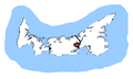
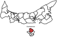
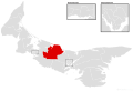
 Montague-Kilmuir.png 610 × 416; 10 KB
-
 Morell-Donagh electoral district map.svg 1,554 × 1,057; 668 KB
-
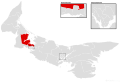
 Morell-Mermaid.png 610 × 416; 10 KB
-
 New Haven-Rocky Point electoral district map.svg 1,554 × 1,057; 668 KB
-
 O'Leary-Inverness electoral district map.svg 1,554 × 1,057; 668 KB
-
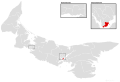
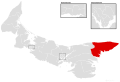
 O'Leary-Inverness.png 610 × 416; 10 KB
-
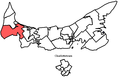
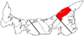
 PEI 1 Kings.gif 453 × 228; 4 KB
-
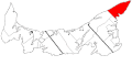
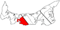
 PEI 1 Prince.gif 453 × 228; 4 KB
-
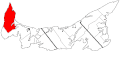
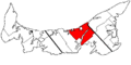
 PEI 1 Queens.gif 453 × 228; 4 KB
-
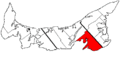
 PEI 2 Kings.gif 453 × 228; 4 KB
-
 PEI 2 Prince.gif 453 × 228; 4 KB
-
 PEI 2 Queens.gif 453 × 228; 4 KB
-
 PEI 3 Kings.gif 453 × 228; 4 KB
-
 PEI 3 Prince.gif 453 × 228; 4 KB
-
 PEI 3 Queens.gif 453 × 228; 4 KB
-
 PEI 4 Kings.gif 453 × 228; 4 KB
-
 PEI 4 Prince.gif 453 × 228; 4 KB
-
 PEI 4 Queens.gif 453 × 228; 4 KB
-
 PEI 5 Kings.gif 453 × 228; 4 KB
-
 PEI 5 Prince.gif 453 × 228; 4 KB
-
 PEI 5 Queens.gif 453 × 228; 4 KB
-
 PEI 6 Queens.gif 453 × 228; 4 KB
-
 Rustico-Emerald electoral district map.svg 1,554 × 1,057; 668 KB
-
 Souris-Elmira electoral district map.svg 1,554 × 1,057; 668 KB
-
 Stanhope-Marshfield electoral district map.svg 1,554 × 1,057; 668 KB
-
 Stratford-Keppoch electoral district map.svg 1,554 × 1,057; 668 KB
-
 Summerside-South Drive electoral district map.svg 1,554 × 1,057; 668 KB
-
 Summerside-Wilmot electoral district map.svg 1,554 × 1,057; 668 KB
-
 Tignish-Palmer Road electoral district map.svg 1,554 × 1,057; 668 KB
-
 Tyne Valley-Sherbrooke electoral district map.svg 1,554 × 1,057; 668 KB


