Category:Dive site maps of New Zealand
Jump to navigation
Jump to search
Maps showing position and other details of dive sites in New Zealand
Media in category "Dive site maps of New Zealand"
The following 9 files are in this category, out of 9 total.
-
 Alderman Islands dive map.png 3,000 × 2,701; 1.14 MB
-
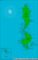
 Coromandel Peninsula dive map.png 3,000 × 3,545; 761 KB
-
 Cuvier Island dive map.png 3,000 × 2,723; 703 KB
-
 Mayor Island dive map.png 3,000 × 2,684; 792 KB
-
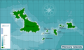 Mercury Islands dive map.png 3,000 × 1,802; 791 KB
-
 Poor Knights Islands dive map.png 1,844 × 3,000; 554 KB
-
 Poor Knights Islands dive sites.png 1,928 × 3,000; 542 KB
-
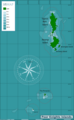
 Three Kings Islands dive map.png 3,000 × 2,020; 918 KB
-
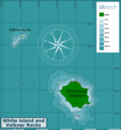 White Island and Volkner Rocks dive map.png 2,796 × 3,000; 823 KB


