Category:CIA World Factbook maps of the Falkland Islands
Jump to navigation
Jump to search
Media in category "CIA World Factbook maps of the Falkland Islands"
The following 15 files are in this category, out of 15 total.
-
Islas Malvinas-es.png 426 × 279; 12 KB
-
East Falkland.PNG 197 × 197; 33 KB
-
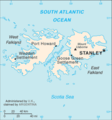
Falkland Islands (Islas Malvinas)-CIA WFB Map.png 328 × 352; 12 KB
-
Falkland Islands map from CIA World Factbook.png 328 × 352; 9 KB
-
Falkland Sound.PNG 151 × 168; 30 KB
-
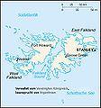
Falklandinseln Karte deutsch.jpg 350 × 376; 136 KB
-
Falklands Map-sl.png 300 × 322; 21 KB
-
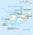
Falklands Map.GIF 328 × 352; 12 KB
-
Falklandsmap san carlos landings.png 346 × 372; 20 KB
-
Falklandsmap.gif 350 × 376; 12 KB
-
Fk-map.png 350 × 376; 11 KB
-
Karte Falklandinseln.png 350 × 377; 19 KB
-
West Falkland.png 198 × 202; 37 KB
-
World Factbook (1982) Falkland Islands.jpg 586 × 587; 70 KB
-
World Factbook (1990) Falkland Islands.jpg 569 × 535; 68 KB


