Category:Aerial photographs of the Battle of Okinawa
Jump to navigation
Jump to search
English: Category for the aerial photographs of the Battle of Okinawa
日本語: 沖縄戦に関する航空写真のカテゴリ
Media in category "Aerial photographs of the Battle of Okinawa"
The following 22 files are in this category, out of 22 total.
-
 1944-11-29 Yonabaru Airfield (Japanese Army).png 1,200 × 1,083; 1.16 MB
-

-
 Aerial view of Tokashiki Island.jpg 592 × 486; 97 KB
-
 Bolo airfield.jpg 1,980 × 1,449; 461 KB
-
 Chimu airfield.jpg 1,954 × 1,440; 494 KB
-
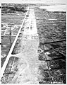 Cub Airfield at Itoman (Yone).jpg 800 × 1,007; 240 KB
-
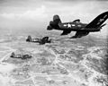 FG-1D Corsairs of VMF-323 over Okinawa 1945.jpeg 1,887 × 1,507; 1.16 MB
-
 Ie and the southern beaches.jpg 591 × 705; 144 KB
-
 Ie island 1945.jpg 640 × 512; 116 KB
-
 Ieshima-1945.jpg 587 × 320; 45 KB
-
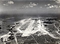
 Machinato airfield.jpg 1,920 × 1,397; 470 KB
-
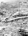
 Motobu airfield.jpg 1,434 × 1,074; 234 KB
-
 Nago 1945.jpg 640 × 476; 126 KB
-
 Naha airfield.jpg 1,427 × 1,073; 250 KB
-
 Naha bomb 10 oct 1944.jpg 640 × 679; 182 KB
-
 Stinson OY-1 flies over Naha, Okinawa, circa in May 1945 (532379).gif 3,000 × 2,396; 6.75 MB
-
 The eastern end of the island of Okinawa.jpg 594 × 351; 89 KB
-
 Tombstone Ridge Area.jpg 589 × 747; 295 KB
-
 USMC-00914.jpg 2,923 × 2,334; 2.65 MB
-
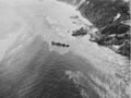 USS Halligan (DD-584) sunk off Tokashiki in 1945.jpg 746 × 559; 235 KB
-
 Yonabaru airfield.jpg 1,929 × 1,432; 503 KB
-
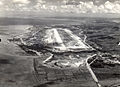
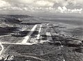
 Yontan Field.jpg 1,989 × 1,414; 530 KB
.png)


.jpg)


.gif)


_sunk_off_Tokashiki_in_1945.jpg)

