Category:20th-century maps of the Moluccas
Jump to navigation
Jump to search
Media in category "20th-century maps of the Moluccas"
The following 8 files are in this category, out of 8 total.
-

-
-
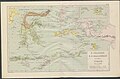
 UB Utrecht - Nova Guinea Vol 4 - Karte 1 - Ternate.jpg 1,496 × 1,930; 1.64 MB
-
-
 Ambon-1942.jpg 738 × 624; 242 KB
-
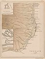
 Ambon 1943.jpg 2,426 × 1,940; 428 KB
-
 Admiralty Chart No 2611 Amboina Bay, Published 1896, New Edition 1914.jpg 10,842 × 8,184; 30.02 MB
-
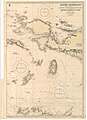
 Admiralty Chart No 3245 Sermata Eilanden and Tamibar Eilanden, Published 1944.jpg 19,506 × 11,225; 30.31 MB


