Category:2022 aerial photographs of Canada
Jump to navigation
Jump to search
Media in category "2022 aerial photographs of Canada"
The following 16 files are in this category, out of 16 total.
-
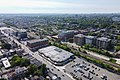
 10545 Bramalea Rd 2022.jpg 2,000 × 1,500; 2.49 MB
-
 09-FEB-2022 - WS1403 PHX-YYC (B737-800 - C-GWBU) (04).jpg 2,048 × 1,536; 597 KB
-
 Aerial view of Cooksville 2022.jpg 4,000 × 3,000; 8.21 MB
-
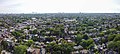
 Aerial view of Davenport Toronto 2022.jpg 2,272 × 1,515; 2.95 MB
-
 Aerial view of Seaton Village 2022.jpg 2,665 × 1,200; 2.75 MB
-
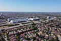 Brampton Civic Hospital 2022.jpg 1,600 × 1,067; 1.58 MB
-
 Canada's Wonderland.jpg 3,024 × 2,268; 6.96 MB
-
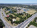 Chinguacousy Park 2022.jpg 1,600 × 1,200; 1.82 MB
-
 Crescent Town 2022.jpg 4,323 × 2,882; 9.04 MB
-
 Dixie Aerial view 2022.jpg 4,438 × 2,000; 7.1 MB
-
 Dominion Beach from 1640 feet2.jpg 4,000 × 2,250; 4.57 MB
-
 Erindale Pano 2022 Autumn.jpg 4,123 × 1,200; 4.68 MB
-
 Inuvik Regional Hospital 2.jpg 3,217 × 2,413; 4.65 MB
-
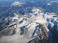 Misty Icefield and Stave Glacier.jpg 4,785 × 3,530; 5.49 MB
-
 Streetsville aerial view 2022.jpg 5,870 × 2,000; 10.28 MB
-
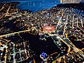 Vancouver BC Canada.jpg 4,032 × 3,024; 7.57 MB

_(04).jpg)


