Category:2020 maps of Louisiana
Jump to navigation
Jump to search
States of the United States: Alabama · Arizona · California · Iowa · Louisiana · Massachusetts · New York · Utah · Wyoming
| 2020 2021 2024 |
Media in category "2020 maps of Louisiana"
The following 4 files are in this category, out of 4 total.
-
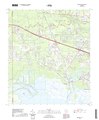
 Chalmette LA Map USGS 2020.pdf 3,600 × 4,350; 44.56 MB
-
 Majority minority parishes in Louisiana 2020 Census.png 6,555 × 4,061; 1.39 MB
-
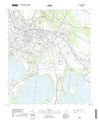 USGS Topo Map Houma LA 2020.pdf 3,600 × 4,350; 46.59 MB
-
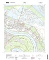
 USGS Topo Map Madisonville, LA 2020.pdf 3,600 × 4,350; 48.36 MB
