Category:2010 maps of Hesse
Jump to navigation
Jump to search
Federal states of Germany:
Media in category "2010 maps of Hesse"
The following 5 files are in this category, out of 5 total.
-
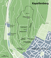
Karte Kapellenberg.png 1,942 × 2,246; 3.01 MB
-
Locator map of Planungsverband Ballungsraum Frankfurt Rhein-Main in Hesse.svg 3,365 × 4,007; 2.04 MB
-
Map DARMSTADT Stadtteile.svg 744 × 1,052; 87 KB
-
Map DARMSTADT.svg 744 × 1,052; 88 KB
-
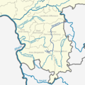
Verlaufskarte Gersprenz.png 1,280 × 1,280; 360 KB


