Category:19th-century maps of Quebec City
Jump to navigation
Jump to search
Media in category "19th-century maps of Quebec City"
The following 22 files are in this category, out of 22 total.
-
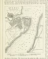
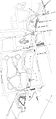
 LAMBERT(1816) 1.095 MAP OF QUEBEC AND ITS ENVIRONS.jpg 2,065 × 1,467; 1.69 MB
-
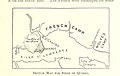
 1775 - Batalia de la Quebec - dispunerea forţelor.PNG 1,256 × 841; 399 KB
-
-
 The magazine of American history with notes and queries (1877) (14784450352).jpg 3,424 × 2,032; 1.36 MB
-
-

-

-

-
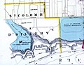
 Carte Grand Incendie de Québec.png 692 × 423; 630 KB
-
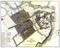
 City of Quebec - Joseph Bouchette 1815.png 3,477 × 1,664; 8.18 MB
-
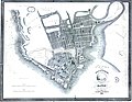
 City of Quebec, 1830.png 2,856 × 2,320; 10.66 MB
-
 City of Quebec. Engraved by E. Bennet.jpg 3,602 × 2,713; 1.2 MB
-
 Dufferin Quebec.JPG 725 × 1,536; 153 KB
-
 Plan of the Place d Armes, city of Quebec.jpg 6,954 × 9,000; 7.06 MB
-
 Plan of the Place d'Armes, city of Quebec.png 2,898 × 3,751; 14.78 MB
-
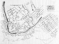
 Plan seigneurial de Québec 1860.jpeg 1,350 × 1,890; 614 KB
-
 Quebec city map 1894.jpg 1,656 × 1,230; 427 KB
-
-

-
 This plan of the city of Quebec - Alfred Hawkins - 1835.jpg 5,108 × 3,978; 3.36 MB
-
 This plan of the city of Quebec - Alfred Hawkins - 1840.jpg 3,175 × 2,439; 1.08 MB
-
 This plan of the city of Quebec - Alfred Hawkins - 1845.jpg 4,008 × 3,120; 1.96 MB
_1.095_MAP_OF_QUEBEC_AND_ITS_ENVIRONS.jpg)

%27_(11250985786).jpg)
_(14784450352).jpg)
.jpg)
.jpg)


.jpg)
.jpg)


