Category:19th-century maps of Peillac
Jump to navigation
Jump to search
Media in category "19th-century maps of Peillac"
The following 2 files are in this category, out of 2 total.
-
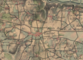 Peillac - Cartes d'État major.png 1,012 × 730; 2.09 MB
-
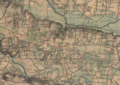 Vue générale de Peillac - Cartes d'État major.png 1,072 × 758; 2.31 MB

