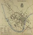
Category:19th-century maps of Périgueux
Jump to navigation
Jump to search
Media in category "19th-century maps of Périgueux"
The following 3 files are in this category, out of 3 total.
-
Périgueux à l'âge industriel (2).jpg 838 × 621; 444 KB
-
Périgueux à l'âge industriel.JPG 1,638 × 1,747; 502 KB


