Category:1947 aerial photographs of Toronto
Jump to navigation
Jump to search
Media in category "1947 aerial photographs of Toronto"
The following 12 files are in this category, out of 12 total.
-
-
 Lake Ontario, and a slice of New Toronto, near Royal York Road, in 1947.png 1,053 × 1,032; 1,013 KB
-
 Lake Ontario, near the mouth of the Humber River, in 1947.png 1,025 × 1,034; 1,014 KB
-
 Long Branch, near the mouth of Etobicoke Creek, in 1947.png 1,048 × 1,014; 1.18 MB
-
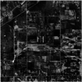
 Mimico Creek, north of Bloor, in 1947.png 1,022 × 1,034; 1.29 MB
-
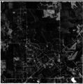
 Mimico Creek, where it crosses Eglinton, in 1947.png 1,032 × 1,023; 1.19 MB
-
 MimicoAerial1947.png 3,001 × 3,774; 12.15 MB
-
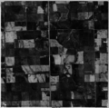
 New Toronto, in 1947.png 1,040 × 1,028; 1.09 MB
-
 Toronto's waterfront, at Mimico and Humber Bay, in 1947.png 1,033 × 1,036; 1.23 MB
-
 Toronto's waterfront, between Cherry and Spadina, in 1947.png 1,040 × 1,016; 1.17 MB
-
 Toronto's waterfront, near the Canadian National Exhibition, in 1947.png 1,024 × 1,035; 1.16 MB
-
 Toronto's waterfront, showing lower Bathurst and the Island Airport, in 1947..png 1,028 × 1,043; 20 KB


