Category:1940 maps of Lithuania
Jump to navigation
Jump to search
Media in category "1940 maps of Lithuania"
The following 7 files are in this category, out of 7 total.
-
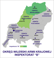 Insp wilno b.png 2,202 × 2,363; 743 KB
-
 Maps of Lithuania. Map of Vilnius, Lithuanian language, 1940.jpg 1,600 × 1,512; 1 MB
-
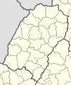
 Obwód wilejski.png 1,458 × 1,060; 45 KB
-
 Polska 1939-1941.png 2,482 × 3,373; 915 KB
-
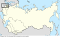 Soviet Union change 1940-08-03.png 2,000 × 1,249; 346 KB
-
 Vileika žem.jpg 1,228 × 583; 426 KB
-


.svg)