Category:1934 maps of Canada
Jump to navigation
Jump to search
Provinces and territories of Canada:
Media in category "1934 maps of Canada"
The following 3 files are in this category, out of 3 total.
-
Map of Manitoba Showing Vegetative Belts (1934).jpg 1,590 × 2,430; 2.47 MB
-
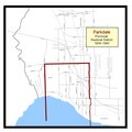
Parkdale provincial electoral district 1934–1943.pdf 1,658 × 1,656; 45 KB


