Category:1930s maps of Panama
Jump to navigation
Jump to search
Media in category "1930s maps of Panama"
The following 3 files are in this category, out of 3 total.
-
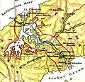
Lange diercke sachsen mittelamerika panama kanal.jpg 962 × 926; 545 KB
-
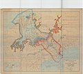
Map of the Panama Canal Zone and Vicinity Showing Judicial Districts - NARA - 6861831.jpg 3,150 × 2,820; 3.32 MB
-
Admiralty Chart No 2261 Panama Bay, Published 1935.jpg 16,261 × 11,038; 48.5 MB


