Category:1850s maps of England
Jump to navigation
Jump to search
Subcategories
This category has the following 2 subcategories, out of 2 total.
L
Media in category "1850s maps of England"
The following 14 files are in this category, out of 14 total.
-

-

-
 The Shambles 1852 Map.jpg 3,000 × 3,000; 3.26 MB
-
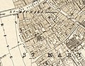 The Water Lanes, York - 1852 Map.jpg 3,487 × 2,691; 5.73 MB
-

-

-
 Figg copy of Kelton 1747 map of Ashdown Forest.jpg 1,020 × 828; 117 KB
-
 William Figg 1858 copy of Kelton 1747 map of Ashdown Forest.jpg 880 × 690; 85 KB
-

-
 27 of 'England and Wales Delineated, etc' (11032090124).jpg 1,936 × 1,200; 653 KB
-
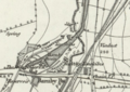 Barnby Basin.png 1,652 × 1,166; 2.38 MB
-
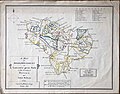
 Dorset Map 1851.png 2,163 × 1,586; 811 KB
-
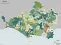
 Westmorland en 1851.svg 1,108 × 1,345; 323 KB
-
 Wood map.jpg 1,289 × 2,101; 1.18 MB
%27_(11036172556).jpg)


.jpg)


%27_(11036383294).jpg)
.jpg)


.jpg)