Category:1816 maps of India
Jump to navigation
Jump to search
English: 1816 maps made in India or from India or showing history of India
Media in category "1816 maps of India"
The following 3 files are in this category, out of 3 total.
-
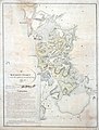
 1801 - 20 - 26(A) 1802 Krungotte District.jpg 7,003 × 7,941; 23.57 MB
-
 Kurungotte District and the adjacent French Territory.jpg 6,007 × 7,902; 22.26 MB
-
 Plan of the Hindu temple at Trichur.jpg 633 × 712; 157 KB
_1802_Krungotte_District.jpg)

