Category:17th-century maps of Anglesey
Jump to navigation
Jump to search

Media in category "17th-century maps of Anglesey"
The following 15 files are in this category, out of 15 total.
-
 Saxton Anglesey.jpg 762 × 567; 161 KB
-

-

-
 Beaumaris (1130596).jpg 1,000 × 803; 260 KB
-
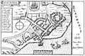 Beaumaris.1610.jpg 1,800 × 1,201; 271 KB
-
 Speed Beaumaris insert.jpg 752 × 581; 276 KB
-
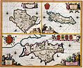
 Anglesey and Carnarvan.jpg 3,456 × 2,592; 5.36 MB
-
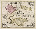
 Mona Insula Vulgo Anglesey - btv1b53056254f (1 of 2).jpg 3,496 × 2,896; 1.59 MB
-
-

-

-
 UBBasel Map Isle of Man Anglesey 1685-1686 Kartenslg Mappe 238-17.tif 2,856 × 4,548, 2 pages; 37.19 MB
-
 Mona insula vulgo Anglesey ; Mona insula vulgo The isle of... - CBT 6599408.jpg 5,738 × 4,738; 7.52 MB
-
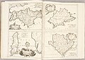 Atlante Veneto Volume 2 014.jpg 10,325 × 7,312; 7.18 MB
-
 Mona insula Vulgo Anglesey - btv1b53056486b.jpg 3,608 × 3,048; 1.7 MB

.jpg)
.jpg)
.jpg)


.jpg)

.jpg)
.5.(45).jpg)


