Category:1784 maps of South America
Jump to navigation
Jump to search
Temperate regions: North America · South America · Africa · Europe · Asia · – Polar regions: – Other regions:
| ← 1780 1781 1782 1783 1784 1785 1786 1787 1788 1789 → |
Media in category "1784 maps of South America"
The following 6 files are in this category, out of 6 total.
-
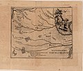 Dobrizhoffer Chaco map.jpg 1,875 × 1,588; 464 KB
-
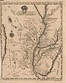 Dobrizhoffer Paraguay.jpg 1,590 × 1,993; 623 KB
-
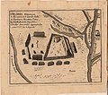 Dobrizhoffer settlement.jpg 1,602 × 1,421; 429 KB
-
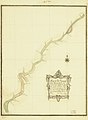
 Map of the Uruguay River from Yapeyu to the Farm of Sn. Gregorio WDL189.png 1,024 × 1,399; 1.82 MB
-

-
 Plano del Rio Uruguay desde Yapeyu hasta la Estancia de Sn. Gregorio LOC 2003683914.jpg 6,346 × 8,672; 3.26 MB


