Category:1780s maps of the Near East
Jump to navigation
Jump to search
Media in category "1780s maps of the Near East"
The following 10 files are in this category, out of 10 total.
-
 Rigobert-Bonne-Atlas-de-toutes-les-parties-connues-du-globe-terrestre MG 9987.tif 5,137 × 3,541; 52.08 MB
-
 1782 d'Anville Map of the Eastern Roman Empire - Geographicus - RomanEmpireEast-anville-1782.jpg 4,831 × 6,000; 10.19 MB
-

-

-
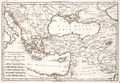
 William Faden. Composite Mediterranean. 1785.F.jpg 2,570 × 1,916; 1.22 MB
-
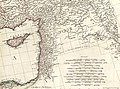
 William Faden. Composite Mediterranean. 1785.FA.jpg 650 × 1,459; 301 KB
-
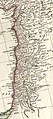
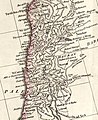 William Faden. Composite Mediterranean. 1785.FB.jpg 650 × 796; 162 KB
-
 Thomas Kitchin. Composite Asia, islands according to d'Anville. 1787 (A).jpg 1,207 × 1,077; 446 KB
-

-
 Thomas Kitchin. Composite Europe. 1787. (B).jpg 398 × 670; 98 KB


.jpg)
.jpg)
.jpg)