Category:1779 maps of the Caribbean
Jump to navigation
Jump to search
Media in category "1779 maps of the Caribbean"
The following 11 files are in this category, out of 11 total.
-
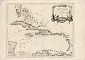
 A map of the Caribbee, Granadilles and Virgin Isles, LOC 74695638.jpg 9,755 × 13,174; 11.79 MB
-
 A map of the Caribbee, Granadilles and Virgin Isles, LOC 74695638.tif 9,755 × 13,174; 367.68 MB
-

-

-

-
-

-
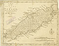
 Tobago subdivision 1779 BOWEN color B.jpg 1,152 × 912; 883 KB
-
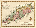
 Tobago subdivision 1779 BOWEN color.jpg 1,200 × 945; 302 KB
-
 Tobago subdivision 1779 BOWEN retuschiert.jpg 5,952 × 4,650; 3.88 MB
-
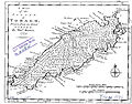
 Tobago subdivision 1779 BOWEN.jpg 5,952 × 4,650; 2.21 MB


.jpg)


