
Category:1720s maps of Mexico
Subcategories
This category has only the following subcategory.
Media in category "1720s maps of Mexico"
The following 5 files are in this category, out of 5 total.
-
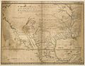 1721 Map of the new part of French Louisiana.jpg 8,104 × 6,291; 14.19 MB
-

-
-

-
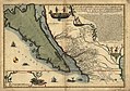
 UB Utrecht - Pieter Mortier - 1727 - Archipelague du Mexique.jpg 3,440 × 2,116; 5.52 MB


.jpg)
