Category:1700s maps of Great Britain
Jump to navigation
Jump to search
Subcategories
This category has the following 2 subcategories, out of 2 total.
.
Media in category "1700s maps of Great Britain"
The following 2 files are in this category, out of 2 total.
-
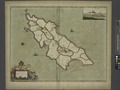 To the Honorable William, E.le. of Derby, Lord of ISLE of MAN NYPL1640578.tiff 7,230 × 5,428; 112.28 MB
-
