Category:1662 maps of England
Appearance
Media in category "1662 maps of England"
The following 4 files are in this category, out of 4 total.
-
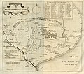
A Map of East and West Fenne (c. 1662).jpg 4,535 × 3,989; 12.08 MB
-
A map of Romney Marsh (1662).jpg 7,554 × 4,505; 21.73 MB
-
The Map of Deeping Fenne (c.1662).jpg 4,739 × 4,193; 13.64 MB
-
The Map of South Holland (1662).jpg 4,710 × 4,211; 12.45 MB


