File:Zimmermann Hasenbanck Elbmündung 1721.jpg
Jump to navigation
Jump to search

Size of this preview: 800 × 486 pixels. Other resolutions: 320 × 195 pixels | 640 × 389 pixels | 1,024 × 622 pixels | 1,280 × 778 pixels | 2,560 × 1,556 pixels | 5,523 × 3,357 pixels.
Original file (5,523 × 3,357 pixels, file size: 17.91 MB, MIME type: image/jpeg)
Captions
Captions
Add a one-line explanation of what this file represents
Summary[edit]
|
This work is in the public domain in its country of origin and other countries and areas where the copyright term is the author's life plus 100 years or fewer. | |
| This file has been identified as being free of known restrictions under copyright law, including all related and neighboring rights. | |
| Annotations | This image is annotated: View the annotations at Commons |
File history
Click on a date/time to view the file as it appeared at that time.
| Date/Time | Thumbnail | Dimensions | User | Comment | |
|---|---|---|---|---|---|
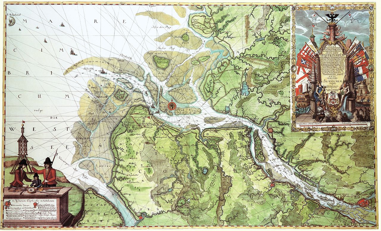
| current | 12:40, 18 November 2008 | | 5,523 × 3,357 (17.91 MB) | Jom (talk | contribs) | {{Information |Description=Karte der Elbmündung 1721 von Samuel Gottlieb Zimmermann und Otto Hasenbanck |Source=Samuel Gottlieb Zimmermann und Otto Hasenbanck |Date=1721 |Author=Samuel Gottlieb Zimmermann und Otto Hasenbanck |Permission= |other_versions= |
You cannot overwrite this file.
File usage on Commons
The following 2 pages use this file:
File usage on other wikis
The following other wikis use this file:
- Usage on da.wikipedia.org
- Usage on de.wikipedia.org
- Usage on de.wiktionary.org
- Usage on ja.wikipedia.org
Metadata
Categories:
- Maps by Zimmermann & Hasenbanck
- Coats of arms on maps
- Elbe in Brunsbüttel
- Elbe in Hetlingen
- Haseldorfer Marsch
- Jork
- Maps of Buxtehude
- Maps of the Elbe in Germany
- Maps of Elbe in Hamburg
- Old maps of Neuwerk
- 1721 maps of Lower Saxony
- 1721 maps of Schleswig-Holstein
- Ships on maps
- Artwork of flags to be classified
- Maps of Scharhörn
- Dieksand
- Maps of Landkreis Stade
- Maps of Landkreis Cuxhaven