File:Zimmerman Kame fallow.jpg
Jump to navigation
Jump to search

Size of this preview: 800 × 600 pixels. Other resolutions: 320 × 240 pixels | 640 × 480 pixels | 1,024 × 768 pixels | 1,280 × 960 pixels | 2,560 × 1,920 pixels | 2,816 × 2,112 pixels.
Original file (2,816 × 2,112 pixels, file size: 1.33 MB, MIME type: image/jpeg)
Captions
Captions
Add a one-line explanation of what this file represents
| Camera location | | View this and other nearby images on: OpenStreetMap |
|---|
| Description |
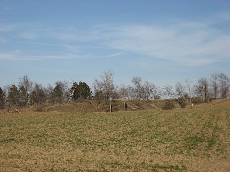
English: Western side of the Zimmerman Kame, located on the eastern side of Township Road 39 northeast of Roundhead in far western McDonald Township, Hardin County, Ohio, United States. A glacial kame that was quarried until the 1970s, it was a burial site for ancient Native Americans and is listed on the National Register of Historic Places. |
||
| Date | Taken on 31 March 2010 | ||
| Source | Own work | ||
| Author | Nyttend | ||
| Permission (Reusing this file) |
|
||
| Other versions |
 Similar scene with green wheat Similar scene with green wheat  Similar scene with golden wheat Similar scene with golden wheat |
File history
Click on a date/time to view the file as it appeared at that time.
| Date/Time | Thumbnail | Dimensions | User | Comment | |
|---|---|---|---|---|---|
| current | 13:34, 1 April 2010 | | 2,816 × 2,112 (1.33 MB) | Nyttend (talk | contribs) | {{Location|40|34|24.636|N|83|49|9.588|W}} {{Information |Description={{en|Western side of the {{w|Zimmerman Kame}}, located on the eastern side of Township Road 39 northeast of {{w|Roundhead, Ohio|Roundhead}} in far western {{w|McDonald Township, Hardin C |
You cannot overwrite this file.
File usage on Commons
The following 2 pages use this file:
File usage on other wikis
The following other wikis use this file:
- Usage on de.wikipedia.org