File:Zambia location map Topographic.png
Jump to navigation
Jump to search
Size of this preview: 693 × 600 pixels. Other resolutions: 277 × 240 pixels | 555 × 480 pixels | 888 × 768 pixels | 1,183 × 1,024 pixels | 2,273 × 1,967 pixels.
Original file (2,273 × 1,967 pixels, file size: 5.85 MB, MIME type: image/png)
Captions
Captions
Add a one-line explanation of what this file represents
Summary
[edit]
| Description |
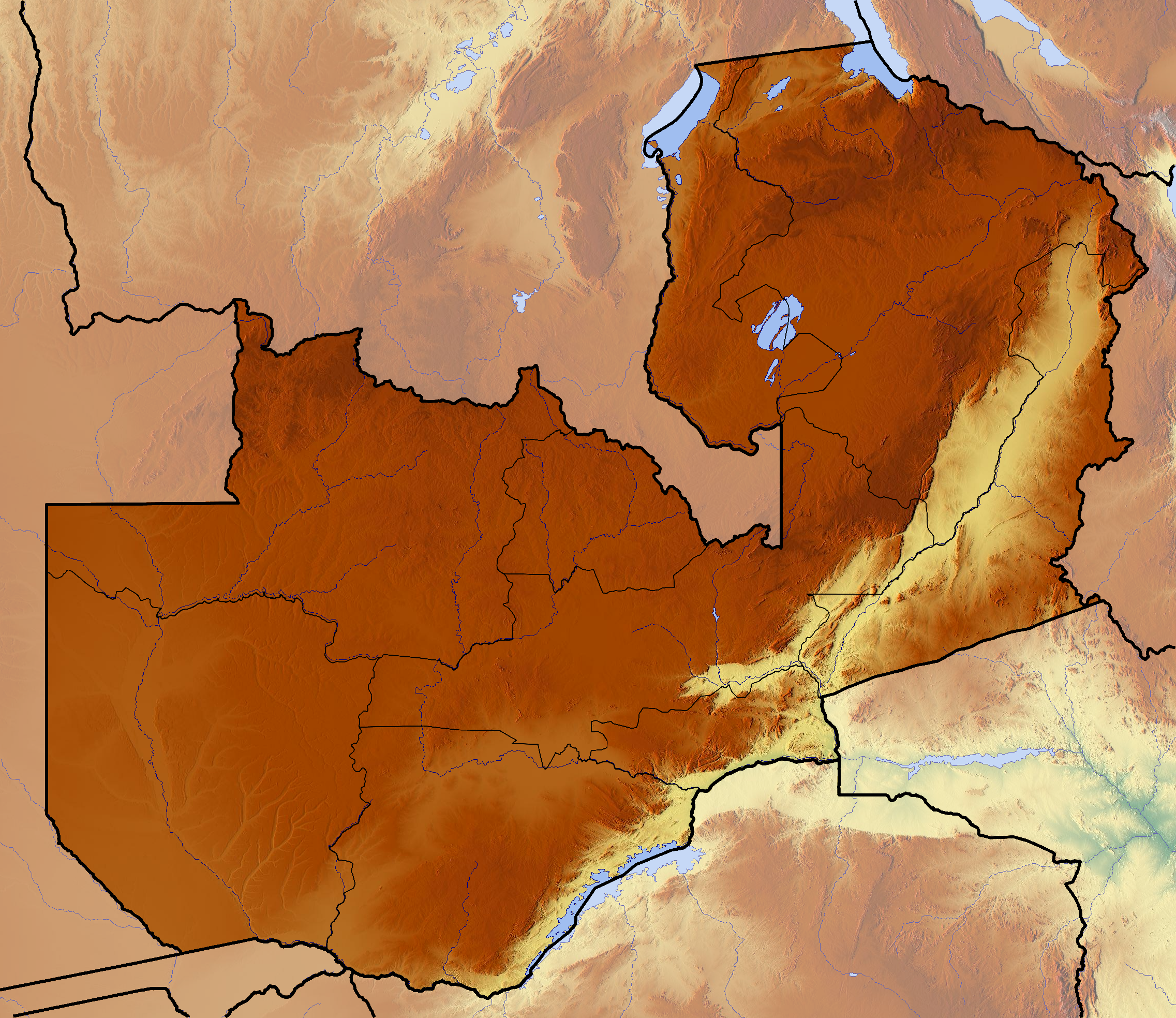
Deutsch: Positionskarte von Sambia
Quadratische Plattkarte, N-S-Streckung 103 %. Geographische Begrenzung der Karte:
English: Location map of Zambia
Equirectangular projection, N/S stretching 103 %. Geographic limits of the map:
|
| Date | |
| Source | Own work (backgroung : http://www.maps-for-free.com) |
| Author | Dr Brains |
Licensing
[edit]
I, the copyright holder of this work, hereby publish it under the following licenses:

|
Permission is granted to copy, distribute and/or modify this document under the terms of the GNU Free Documentation License, Version 1.2 only as published by the Free Software Foundation; with no Invariant Sections, no Front-Cover Texts, and no Back-Cover Texts. A copy of the license is included in the section entitled GNU Free Documentation License. | 1.2 only |
|
|
Permission is granted to copy, distribute and/or modify this document under the terms of the GNU Free Documentation License, Version 1.3 or any later version published by the Free Software Foundation; with no Invariant Sections, no Front-Cover Texts, and no Back-Cover Texts. A copy of the license is included in the section entitled GNU Free Documentation License.
|
You may select the license of your choice.
File history
Click on a date/time to view the file as it appeared at that time.
| Date/Time | Thumbnail | Dimensions | User | Comment | |
|---|---|---|---|---|---|
| current | 19:24, 11 June 2012 | | 2,273 × 1,967 (5.85 MB) | Dr Brains (talk | contribs) |
You cannot overwrite this file.
File usage on Commons
The following 2 pages use this file:
File usage on other wikis
The following other wikis use this file:
- Usage on ar.wikipedia.org
- Usage on bn.wikipedia.org
- Usage on bs.wikipedia.org
- Usage on ceb.wikipedia.org
- Usage on cs.wikipedia.org
- Usage on en.wikipedia.org
- Usage on he.wikivoyage.org
- Usage on ja.wikipedia.org
- Usage on ko.wikipedia.org
- Usage on lv.wikipedia.org
- Usage on mk.wikipedia.org
- Usage on ml.wikipedia.org
- Usage on no.wikipedia.org
- Usage on or.wikipedia.org
- Usage on pa.wikipedia.org
- Usage on pl.wikipedia.org
- Wodospady Wiktorii
- Bangweulu
- Mweru
- Luangwa
- Park Narodowy Kafue
- Park Narodowy Dolnej Zambezi
- Mwanda Peak
- Chambeshi
- Kabompo (rzeka)
- Kafue Gorge Dam
- Park Narodowy Blue Lagoon
- Park Narodowy Kasanka
- Nyambwezi Falls
- Park Narodowy Isangano
- Kalambo
- Ngonye Falls
- Mweru Wantipa
- Park Narodowy Mweru Wantipa
- Park Narodowy West Lunga
- Park Narodowy Sumbu
View more global usage of this file.