File:Yugoslavia map 1920.jpg
Jump to navigation
Jump to search

Size of this preview: 800 × 530 pixels. Other resolutions: 320 × 212 pixels | 640 × 424 pixels.
Original file (906 × 600 pixels, file size: 192 KB, MIME type: image/jpeg)
Captions
Captions
Add a one-line explanation of what this file represents
Summary[edit]
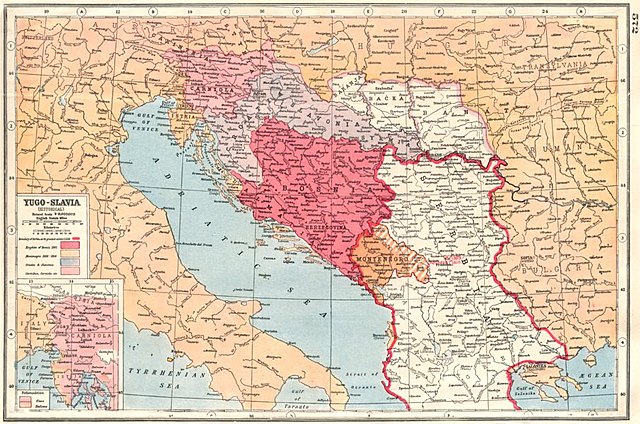
| Description | Old map of Yugoslavia from 1920. |
| Date | |
| Source | [1] [2] (BALKANS:Yugoslavia Historical; Bosnia Serbia Montenegro; nationalities 1920 map; 1920; Harmsworth's new Atlas) |
| Author | Unsigned |
![[1]](http://www.antiquaprintgallery.com/ekmps/shops/richben90/images/balkans-yugoslavia-historical-bosnia-serbia-montenegro-nationalities-1920-map-120236-p.jpg)
Licensing[edit]
This work is in the public domain in the United States because it was published (or registered with the U.S. Copyright Office) before January 1, 1929.
Public domain works must be out of copyright in both the United States and in the source country of the work in order to be hosted on the Commons. If the work is not a U.S. work, the file must have an additional copyright tag indicating the copyright status in the source country.
Note: This tag should not be used for sound recordings. |
File history
Click on a date/time to view the file as it appeared at that time.
| Date/Time | Thumbnail | Dimensions | User | Comment | |
|---|---|---|---|---|---|
| current | 09:34, 6 October 2012 | | 906 × 600 (192 KB) | PANONIAN (talk | contribs) | {{Information |Description=Old map of Yugoslavia from 1920. |Source= http://www.antiquaprintgallery.com/ekmps/shops/richben90/images/balkans-yugoslavia-historical-bosnia-serbia-montenegro-nationalities-1920-map-120236-p.jpg http://www.antiquaprintgalle... |
You cannot overwrite this file.
File usage on Commons
The following 2 pages use this file:
File usage on other wikis
The following other wikis use this file:
- Usage on ru.wikipedia.org
- Usage on sh.wikipedia.org
- Usage on sr.wikipedia.org
- Usage on uk.wikipedia.org