File:Wolin (gmina) location map.png
Jump to navigation
Jump to search

Size of this preview: 506 × 599 pixels. Other resolutions: 203 × 240 pixels | 405 × 480 pixels | 1,002 × 1,186 pixels.
Original file (1,002 × 1,186 pixels, file size: 87 KB, MIME type: image/png)
Captions
Captions
Add a one-line explanation of what this file represents
| Description |
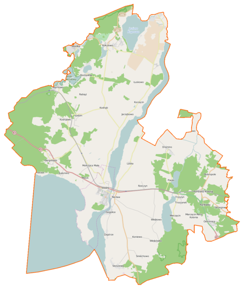
Polski: Mapa gminy Wolin, Polska
English: Map of Gmina Wolin, Poland |
|||||||||
| Date | ||||||||||
| Source | You may find a page on the OpenStreetMap wiki page for Wolin (gmina) | |||||||||
| Creator |
OpenStreetMap contributors OpenStreetMap contributors |
|||||||||
| Permission (Reusing this file) |
OpenStreetMap data is available under the Open Database License (details). Map tiles are licensed under the Creative Commons Attribution-ShareAlike 2.0 license (CC-BY-SA 2.0).
This file is licensed under the Creative Commons Attribution-Share Alike 2.0 Generic license.
|
|||||||||
| Geotemporal data | ||||||||||
| Bounding box |
|
|||||||||
| Georeferencing | If inappropriate please set warp_status = skip to hide. | |||||||||
File history
Click on a date/time to view the file as it appeared at that time.
| Date/Time | Thumbnail | Dimensions | User | Comment | |
|---|---|---|---|---|---|
| current | 08:45, 21 March 2015 | | 1,002 × 1,186 (87 KB) | VanWiel (talk | contribs) | {{OpenStreetMap | name = Wolin (gmina) | location = Wolin (gmina) | description = {{pl|Mapa gminy Wolin, Polska}} {{en|Map of Gmina Wolin, Poland}} | top = 54.0033 | bottom = 53.7632 | left... |
You cannot overwrite this file.
File usage on Commons
The following page uses this file:
File usage on other wikis
The following other wikis use this file:
- Usage on fr.wikipedia.org
- Chynowo
- Dargobądz
- Darzowice
- Dobropole (Kamień)
- Domysłów
- Dramino
- Gogolice (Kamień)
- Jagienki
- Jagniątkowo
- Jarzębowo
- Karnocice
- Kodrąb (Poméranie-Occidentale)
- Kodrąbek
- Kołczewo
- Koniewo (Poméranie-Occidentale)
- Korzęcin
- Ładzin (Poméranie-Occidentale)
- Laska (Poméranie-Occidentale)
- Łojszyno
- Łuskowo
- Mierzęcin (Poméranie-Occidentale)
- Mokrzyca Mała
- Mokrzyca Wielka
- Ostromice
- Parłowo
- Piaski Wielkie (Poméranie-Occidentale)
- Płocin
- Rabiąż
- Recław
- Rekowo (Wolin)
- Rzeczyn (Poméranie-Occidentale)
- Sierosław (Poméranie-Occidentale)
- Siniechowo
- Skoszewo (Poméranie-Occidentale)
- Strzegowo (Poméranie-Occidentale)
- Sułomino
- Świętouść
- Troszyn (Kamień)
- Troszynek
- Unin (Poméranie-Occidentale)
- Warnowo (Poméranie-Occidentale)
- Wartowo
- Wiejkówko
- Wiejkowo
- Wisełka
- Zagórze (Kamień)
- Zastań
- Żółwino (Kamień)
- Usage on mk.wikipedia.org
- Usage on pl.wikipedia.org
View more global usage of this file.
_location_map.png)
_location_map.png&oldid=464497166)