File:Wista-adlershof.svg
Jump to navigation
Jump to search

Size of this PNG preview of this SVG file: 719 × 600 pixels. Other resolutions: 288 × 240 pixels | 576 × 480 pixels | 921 × 768 pixels | 1,228 × 1,024 pixels | 2,456 × 2,048 pixels | 1,639 × 1,367 pixels.
Original file (SVG file, nominally 1,639 × 1,367 pixels, file size: 223 KB)
Captions
Captions
Add a one-line explanation of what this file represents
Summary
[edit]
| Description |
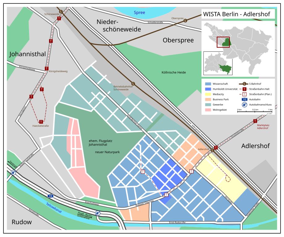
Deutsch: Karte der Wissenschaftsstadt WISTA Berlin - Adlershof English: Map of Scientific City "WISTA", Berlin - Adlershof |
| Date | |
| Source | own work / selbst hergestellt, Informations: Google Earth, maps of Wista Management |
| Author | Fremantleboy 04:55, 19 June 2007 (UTC) |
| Other versions |
PNG-Version: |

|
This map has been made or improved in the German Kartenwerkstatt (Map Lab). You can propose maps to improve as well.
|
Licensing
[edit]
This file is licensed under the Creative Commons Attribution 2.5 Generic license.
- You are free:
- to share – to copy, distribute and transmit the work
- to remix – to adapt the work
- Under the following conditions:
- attribution – You must give appropriate credit, provide a link to the license, and indicate if changes were made. You may do so in any reasonable manner, but not in any way that suggests the licensor endorses you or your use.
File history
Click on a date/time to view the file as it appeared at that time.
| Date/Time | Thumbnail | Dimensions | User | Comment | |
|---|---|---|---|---|---|
| current | 00:50, 1 February 2010 | | 1,639 × 1,367 (223 KB) | Justass (talk | contribs) | Reverted to working version |
| 08:44, 21 June 2007 |  | 1,639 × 1,367 (42 KB) | Fremantleboy (talk | contribs) | ||
| 08:42, 21 June 2007 |  | 1,639 × 1,367 (223 KB) | Fremantleboy (talk | contribs) | ||
| 08:41, 21 June 2007 |  | 1,639 × 1,367 (42 KB) | Fremantleboy (talk | contribs) | ||
| 08:39, 21 June 2007 |  | 1,639 × 1,367 (42 KB) | Fremantleboy (talk | contribs) | ||
| 08:38, 21 June 2007 |  | 1,639 × 1,367 (42 KB) | Fremantleboy (talk | contribs) | ||
| 12:51, 19 June 2007 |  | 1,639 × 1,367 (223 KB) | Fremantleboy (talk | contribs) | ||
| 09:58, 19 June 2007 |  | 1,639 × 1,367 (224 KB) | Fremantleboy (talk | contribs) | SVG-Version: :Image:Wista-adlershof.PNG == Beschreibung == {{Information |Description=de: Karte der Wissenschaftsstadt WISTA Berlin - Adlershof / en: Map of Scientific City "WISTA", Berlin - Adlershof |Source=own work / selbst hergestellt, Informations: |
You cannot overwrite this file.
File usage on Commons
The following page uses this file: